SWIFT WING

Provider of Secondary Development and Low-Altitude Industry Solutions for Industrial Drones

Leveraging the Pixhawk/ROS2 open-source ecosystem to deliver practical low-altitude digitalization projects through hardware payload integration, onboard algorithm development, and customized automated flight paths.

Introduction

Homepage Brief Introduction

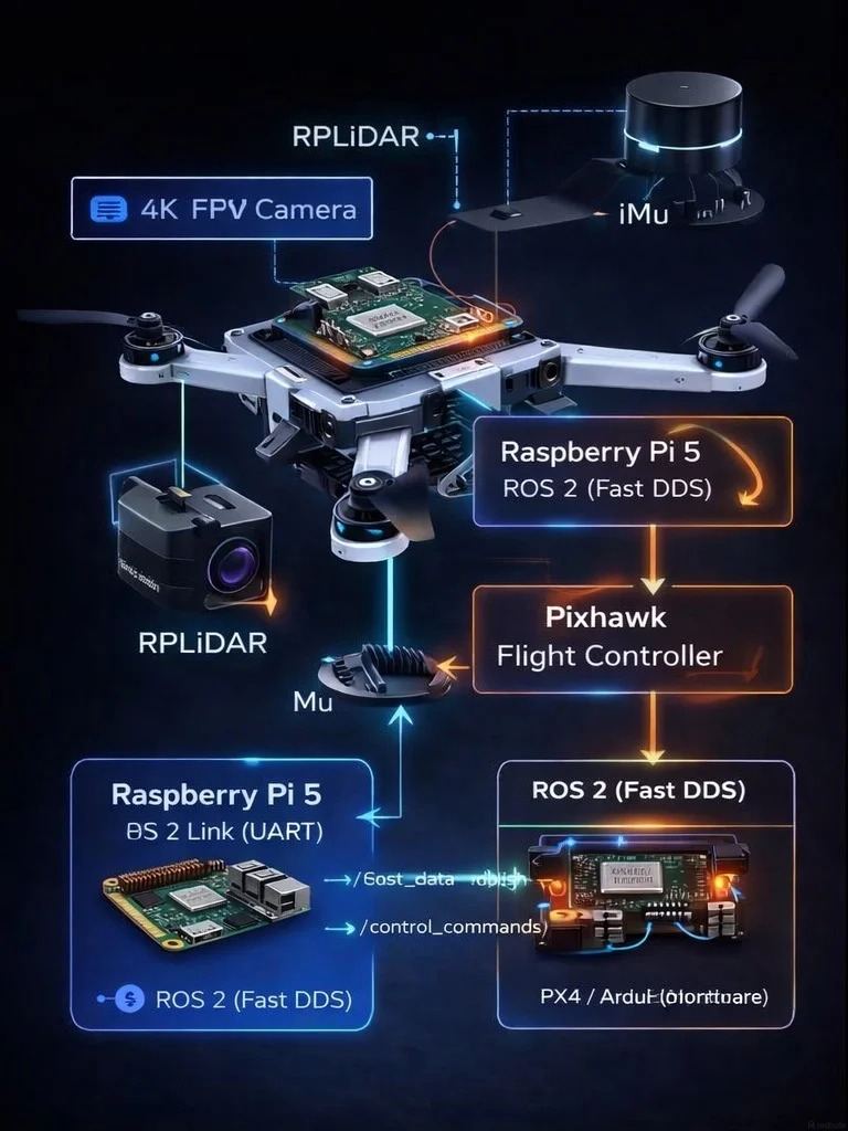
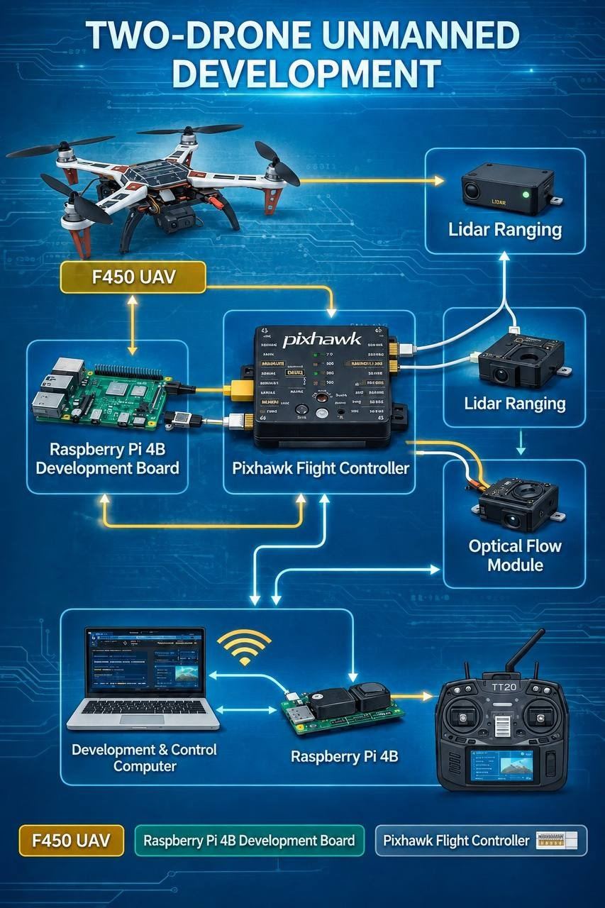
We specialize in the secondary development and industry-specific integration of open-source drones. Building upon mature drone platforms, we utilize Pixhawk flight controllers, Raspberry Pi onboard computing platforms, and the ROS2 (Fast DDS) robotics framework to execute hardware modifications, multi-sensor fusion, automated flight script development, onboard data acquisition, and 3D visualization.

Rather than manufacturing airframes or basic flight controllers from scratch, we focus on high-level secondary development, multi-payload integration, and real-world industry implementation. Our team is expert in the integration and calibration of sensors such as LiDAR, infrared thermal imagers, and visible-light cameras. We support the development of applications for automated inspections, aerial surveying and modeling, and target recognition, providing government, enterprise, engineering, and energy clients with end-to-end drone project delivery, field flight operations, and data reporting.

Homepage Section Quick-Access

Industry Scenarios

Solutions

Leveraging mature UAV platforms and secondary development based on the Pixhawk+ROS2 open-source ecosystem, we integrate sensors—such as visible light, infrared thermal imaging, and 2D/3D LiDAR—according to specific needs. We customize automated flight missions and deliver end-to-end services, ranging from airspace filing and on-site flight operations to data interpretation and final reporting.

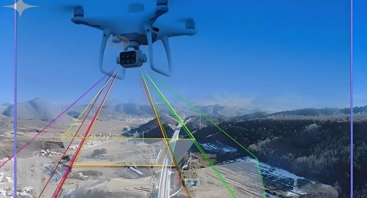
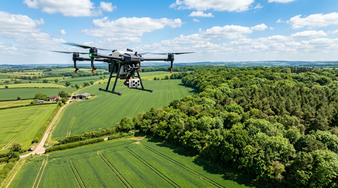
Survey drone with multispectral payload over terrain
Solution 01
1. Surveying and Land Inspection

Surveying and Land Inspection

Aerial LiDAR surveying featuring automated flight path planning and the acquisition of 3D point clouds, orthomosaics, and Digital Elevation Models (DEMs) for land surveys, topographic mapping, and earthwork volume calculations. Supports multi-temporal flight comparisons and automated terrain output generation, replacing manual field surveys and significantly boosting efficiency for large-scale operations.

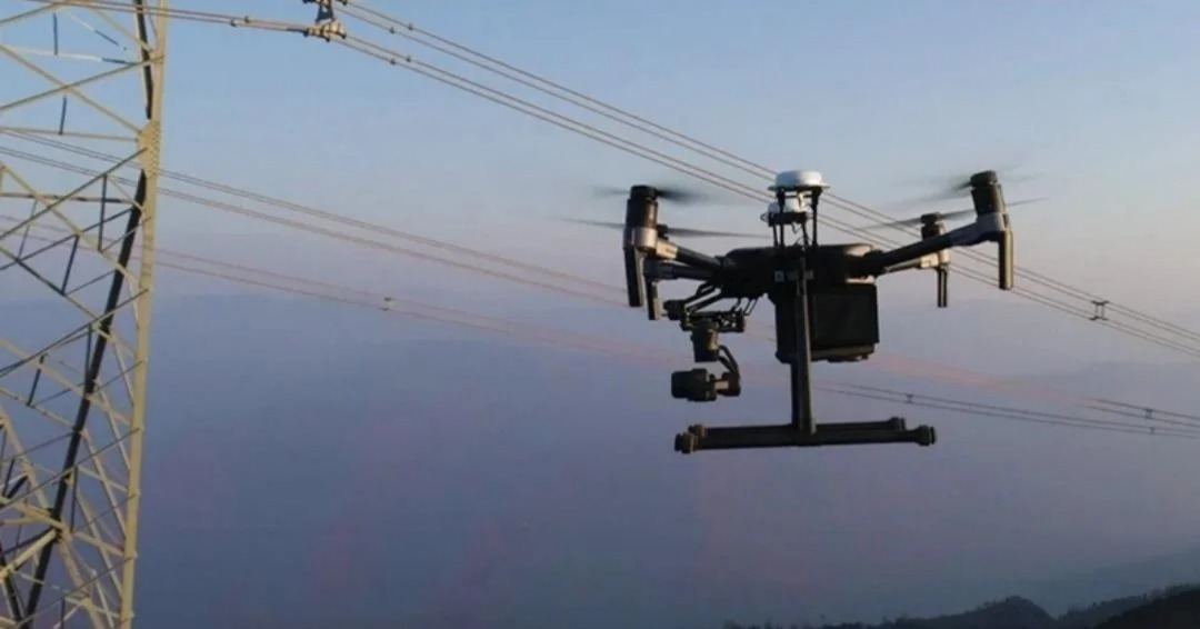
Drone inspecting power lines beside a transmission tower
Solution 02
2. Power Grid Inspection

Power Grid Inspection

Autonomous inspection solutions for transmission towers and power lines. Equipped with visible light and infrared thermal imaging payloads, the system utilizes ROS2-based automated flight paths to detect conductor damage, hardware defects, and equipment overheating risks from a distance. It automatically logs defect coordinates and generates inspection logs and image reports, thereby reducing the risks associated with high-altitude operations.

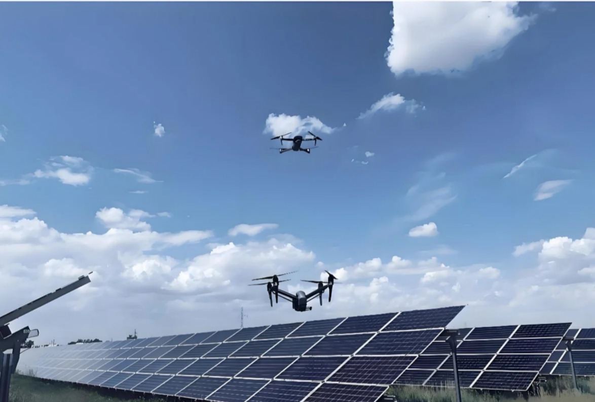
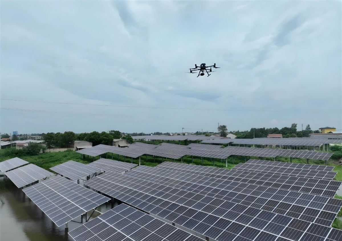
Drones flying over a photovoltaic plant
Solution 03
3. Photovoltaic (PV) Plant Inspection

Photovoltaic (PV) Plant Inspection

Autonomous inspections using infrared thermal imaging drones to automatically identify hotspots, micro-cracks, and component failures. Includes 3D modeling of the entire plant and cataloging of component locations. Supports periodic automated inspections and provides comprehensive visual data reports for O&M and project acceptance; compatible with mountainous and floating PV scenarios.

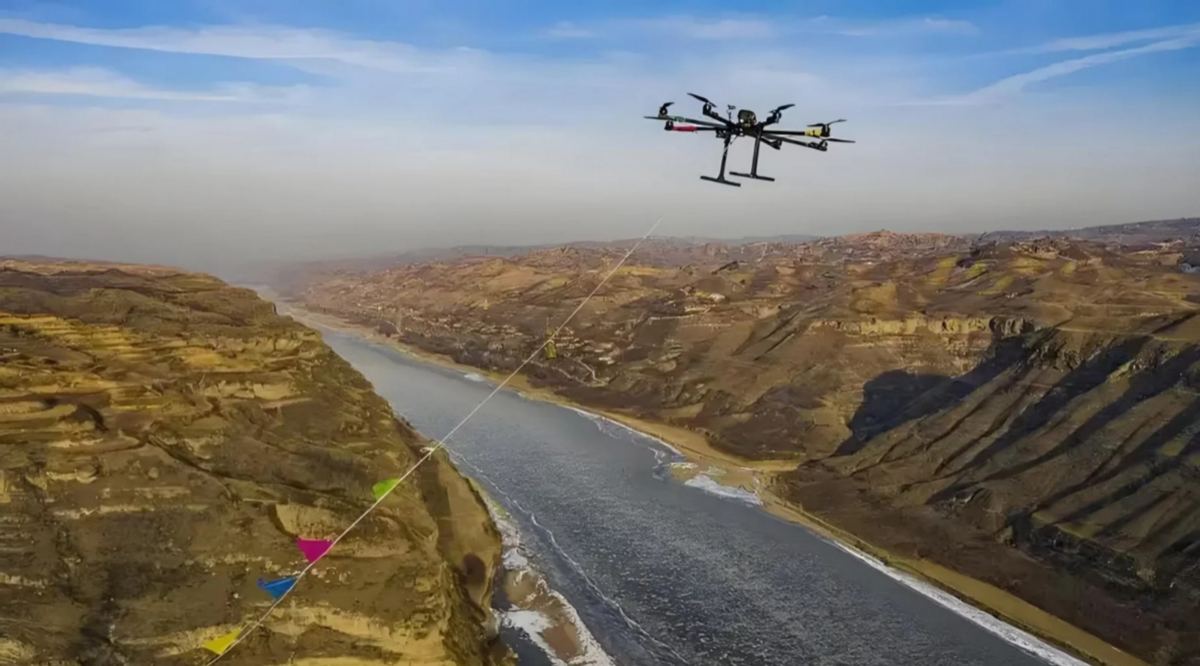
Drone flying along a river valley with a guide line
Solution 04
4. Riverway and Water Conservancy Inspection

Riverway and Water Conservancy Inspection

Autonomous inspection for hazards along shorelines and embankments. Equipped with visible light and gas sensors to automatically record illegal shoreline structures, embankment cracks, and discharge points. Supports long-distance autonomous cruising along waterways, continuously capturing image data to create standardized inspection records.

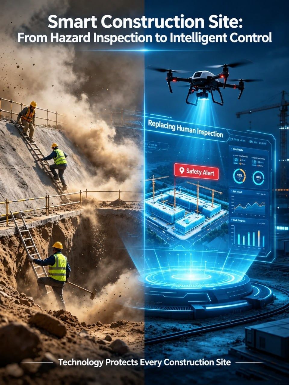
Smart construction site: from hazard inspection to intelligent control
Solution 05
5. Construction Site and Infrastructure Monitoring

Construction Site and Infrastructure Monitoring

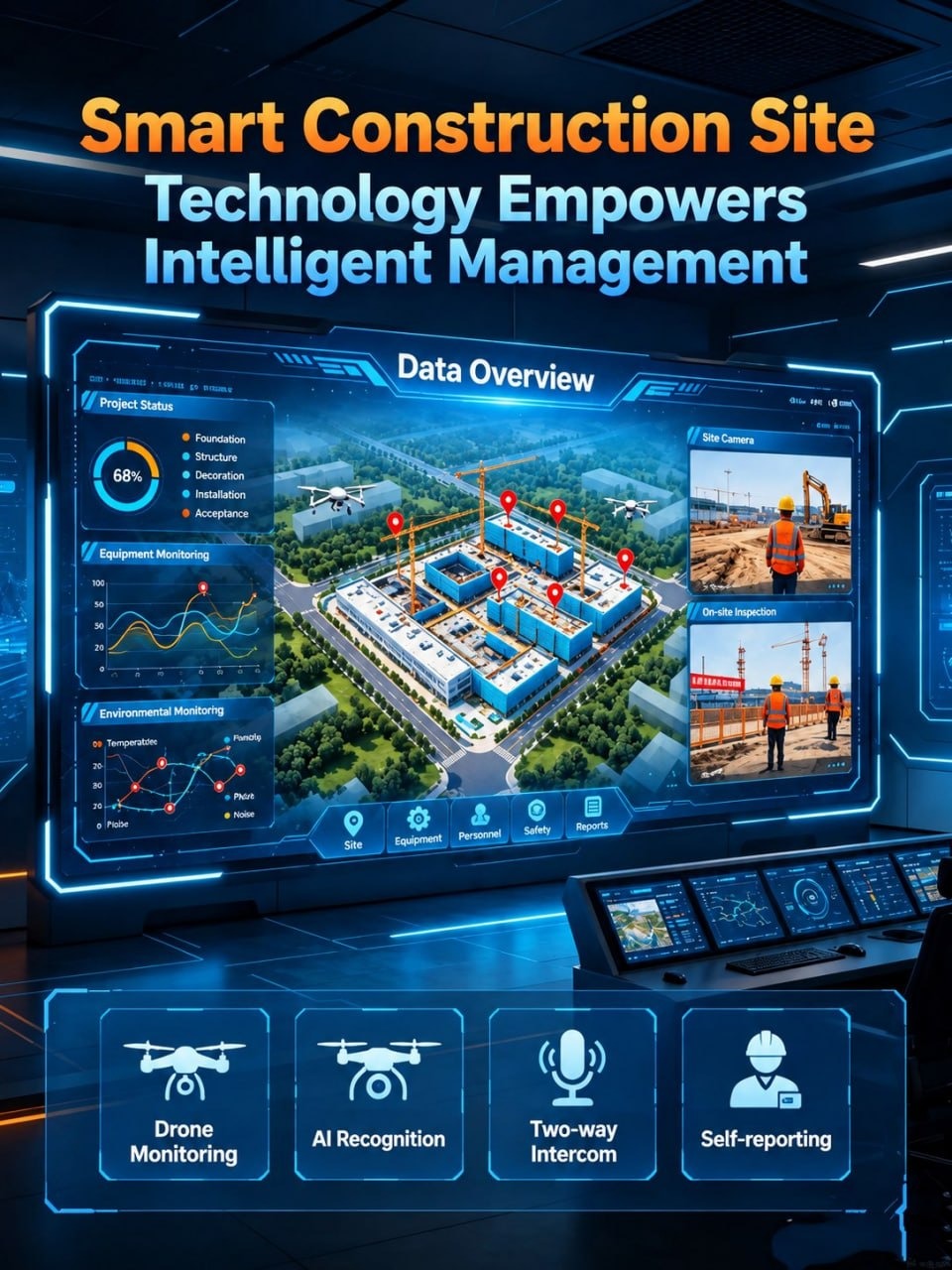
Conducts periodic autonomous flights over construction sites to automatically capture panoramic imagery and generate 3D models, enabling earthwork volume calculations, construction progress comparisons, and safety hazard inspections. Suitable for phased project acceptance and digital project management.

Autonomous security patrol and reconnaissance drone
Solution 06
6. Security Patrols and Emergency Reconnaissance

Security Patrols and Emergency Reconnaissance

Performs large-scale autonomous aerial patrols of industrial parks and factory complexes, as well as rapid aerial reconnaissance of incidents with real-time video transmission. Supports customizable missions such as fixed-point loitering and area scanning, as well as short-term on-site operations for emergency projects.

Multispectral drone surveying agriculture and forest canopy
Solution 07
7. Agricultural and Forestry Resource Surveys

Agricultural and Forestry Resource Surveys

Includes forest surveys, remote sensing monitoring for pests and diseases, and vegetation coverage analysis. Equipped with multispectral sensors, the system automatically collects remote sensing data on vegetation to calculate forest area and analyze growth conditions.

Engineering Delivery

Core Services

We do not manufacture complete drones; instead, we focus on onboard secondary development and industry-specific implementation services. Leveraging the Pixhawk flight controller, Raspberry Pi onboard computer, and ROS2 framework, we handle hardware integration, algorithm development, field operations, and final deliverable submission.

1

1. Multi-sensor Payload Integration and Modification

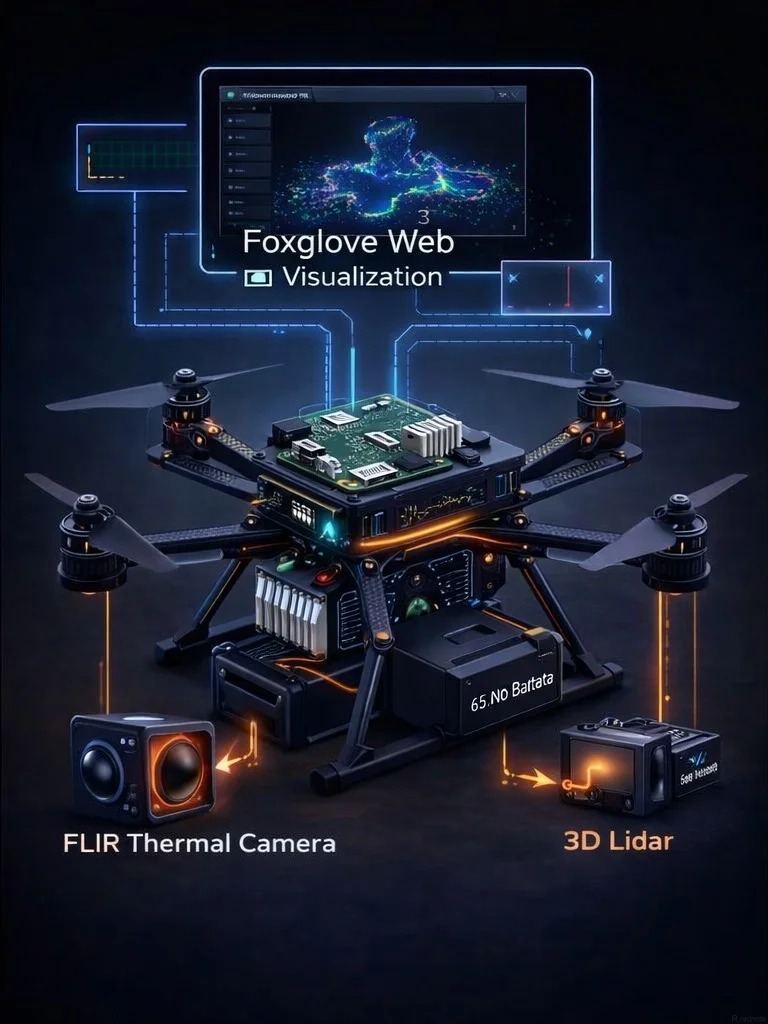
Based on established drone platforms, we adapt and integrate payloads such as 2D/3D LiDAR, FLIR thermal imaging cameras, 4K visible-light cameras, and gas sensors. We debug hardware interfaces, power supply systems, and communication links, while conducting onboard system integration and field testing. We establish seamless data links connecting the sensors, onboard computer, and Pixhawk flight controller.

2

2. Onboard System and ROS2 Secondary Development

We deploy the Raspberry Pi onboard computing environment and develop nodes using the ROS2 Fast DDS communication framework. We enable bidirectional communication between the flight controller and the onboard computer, developing functions for custom flight missions, data acquisition, and real-time streaming. We also support secondary development using pymavlink to enable command-based control of the Pixhawk flight controller.

3

3. Automated Flight Logic Development

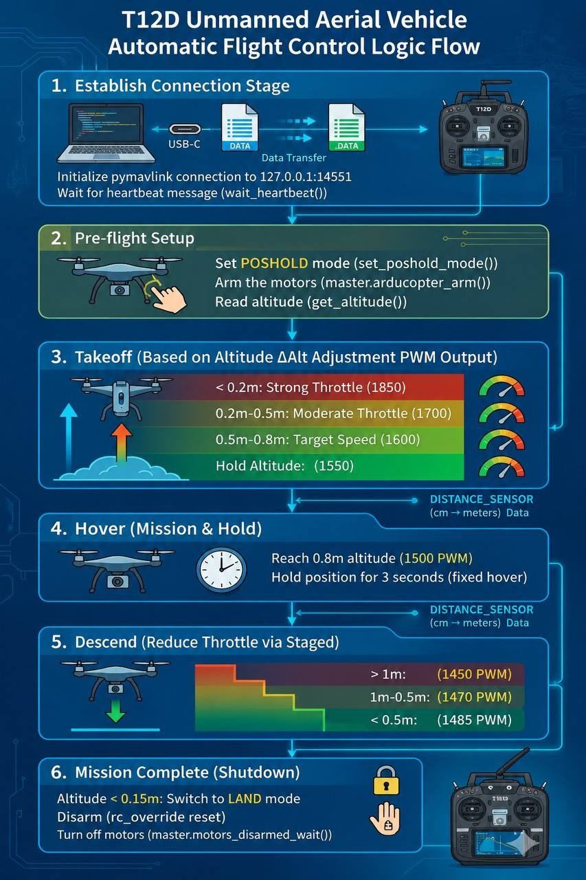
We customize autonomous flight logic, including automatic takeoff, fixed-point hovering, waypoint navigation, dynamic altitude adjustment, and soft landing. We can develop segmented PWM dynamic control strategies that adjust the throttle in real-time based on feedback from altitude and distance sensors, ensuring stable and safe flight.

4

4. Field Flight Operation Services

Our team of certified pilots provides on-site operational services, including airspace filing, on-site equipment debugging, mission test flights, and routine autonomous inspection operations. We support both one-off projects and recurring, multi-cycle inspection services.

5

5. Data Post-processing and Visualization

Services include point cloud processing, 3D modeling, and orthomosaic generation. We develop ground station visualizations using Foxglove and enable real-time onboard data visualization and playback. We also handle defect annotation and data statistics, producing standardized project reports ready for client archiving and acceptance.

6

6. Drone Rental & Integrated Development Support

Short-term rental of industrial drones and payloads (including LiDAR and thermal imaging), accompanied by professional pilots and technical development support; ideal for pilot projects and short-term emergency operations, helping clients reduce upfront hardware investment.

7

7. Project Technical Support & Acceptance Delivery

Full-process liaison with the client and assistance with project acceptance; provision of code documentation, hardware manuals, and operational training, ensuring compliance with delivery standards for tender-based projects.

Competitiveness

Technical Capabilities

Our core competitiveness lies in our ability to perform low-level secondary development based on open-source drone ecosystems, seamlessly integrating the entire workflow—from sensor data acquisition and ROS2 onboard computing to Pixhawk flight control and ground station visualization.

✅

Pixhawk Low-Level Flight Control Development

PX4/ArduPilot firmware debugging, MAVLink communication protocol, pymavlink secondary development, flight controller status monitoring, and command execution

✅

ROS2 Onboard Robotic Systems

Raspberry Pi deployment, Fast DDS messaging, multi-sensor data node development, and real-time onboard data processing

✅

Autonomous Flight Control Logic

Dynamic takeoff, closed-loop altitude control, stable hovering, controlled soft landing, automatic mission start/stop, and dynamic flight adjustment based on proximity sensors

✅

Multi-Sensor Fusion & Integration

Hardware adaptation and data fusion for RPLiDAR/3D LiDAR, IMU, 4K visible-light cameras, FLIR thermal imaging, and gas sensors

✅

Ground Station Visualization

Foxglove Web visualization dashboard development; real-time display and playback of flight status, point clouds, and imagery

✅

Flight Operations & Data Processing

Flight path planning; generation of point clouds, DOM (orthomosaics), and 3D models; defect annotation and automated report generation

✅

Project Compliance Capabilities

Airspace application planning, flight safety assessment, and field operation risk management

✅

Standardization of Deliverables

Archivable raw data, model files, and comprehensive illustrated project reports

One-Sentence Positioning: We do more than just fly drones; we customize the "brains" of drones for your specific industry missions.

Case Studies

Project Case Studies

Leveraging a secondary development architecture based on Pixhawk and ROS2, we undertake a wide range of low-altitude digitalization projects, providing a complete end-to-end workflow that encompasses hardware modification, code development, on-site flight operations, and final deliverable handover.

Autonomous Drone-Based Infrared Inspection for Mountainous PV Power Plants
New Energy / PV Operations & Maintenance (O&M)

Autonomous Drone-Based Infrared Inspection for Mountainous PV Power Plants

Industry New Energy / PV Operations & Maintenance (O&M)
Project Scope Secondary development of the drone platform and integration of a FLIR infrared thermal imaging payload; development of ROS2-based automated inspection flight paths to enable autonomous site-wide cruising, automatic infrared image acquisition, and identification of hotspot faults.
Deliverables
Infrared image dataset, defect location log, 3D model of the power plant, and inspection summary report.
Land Topographic Aerial Survey Project
Land Surveying and Mapping

Land Topographic Aerial Survey Project

Industry Land Surveying and Mapping
Project Scope Large-scale aerial surveying, generation of orthophotos and DEM models, and earthwork volume calculation
Deliverables
Orthophotos (DOM), 3D point clouds, and earthwork calculation reports
UAV-based Transmission Line Inspection Project
Power Grid Operations and Maintenance

UAV-based Transmission Line Inspection Project

Industry Power Grid Operations and Maintenance
Project Scope Visible light and infrared inspection of towers and lines; detection of equipment overheating and component damage
Deliverables
Inspection imagery, defect list, and inspection report.
Periodic Monitoring of Infrastructure Construction Sites
Infrastructure Engineering

Periodic Monitoring of Infrastructure Construction Sites

Industry Infrastructure Engineering
Project Scope Developing automated periodic flight missions to regularly capture site imagery and generate multi-temporal models for monitoring construction progress and earthwork changes.
Deliverables
Multi-temporal aerial imagery, 3D site models, and progress comparison reports.
Company Profile

About Us

Company Profile

We are a service provider specializing in secondary development for open-source drones and the integration of low-altitude industry applications. Our team consists of dozens of professionals, and we operate on a project-based, asset-light model.

Company Positioning: We do not manufacture complete drones, airframes, or basic flight control hardware ourselves; instead, we focus on high-level secondary development and industry application integration based on Pixhawk open-source flight controllers, Raspberry Pi onboard computers, and the ROS2 robotics system. We serve government agencies, enterprises, and clients in the energy and engineering sectors by providing customized drone mission development, payload modification, field flight operations, and data delivery.

Team Composition: Our team includes embedded systems engineers, ROS algorithm engineers, certified drone pilots, surveying and remote sensing engineers, and project managers. We possess expertise in low-level drone communication and onboard software development, alongside extensive practical experience in executing field projects and winning competitive bids.

Business Model: We operate on a project-based model with two core business areas: ƒ secondary development of onboard drone systems and customized sensor integration; and ƒ low-altitude remote sensing services—such as aerial surveying and inspections—complemented by equipment rental.

Industry Value: Many organizations purchase drone hardware but lack the capabilities for autonomous flight development or multi-sensor fusion, leaving them reliant on manual piloting. We bridge this gap by providing onboard development and automated mission capabilities, transforming standard drone hardware into intelligent low-altitude data acquisition terminals capable of autonomously executing industry-specific tasks.

Team Philosophy

Grounded in open-source drone technology, we avoid hype and focus on real-world industry applications, transforming intelligent drone algorithms and hardware integration capabilities into practical, acceptance-ready project deliverables for our clients.
Our Strengths

  • ✅
    Deep Expertise in Open-Source Ecosystems

    Proficient in Pixhawk, PX4, ArduPilot, ROS2, and MAVLink, enabling the development of customized flight logic.

  • ✅
    Multi-Sensor Integration Capabilities

    Skilled in adapting and integrating various payloads—such as LiDAR, thermal imagers, and visible-light cameras.

  • ✅
    Integrated Hardware-Software Delivery

    Offering end-to-end service that goes beyond coding to include hardware modification, field flight testing, on-site operations, and data deliverable processing.

  • ✅
    Flexible Project-Based Response

    Capable of handling projects of all sizes with rapid deployment of development engineers and drone pilots.

  • ✅
    Familiarity with Tender & Delivery Standards

    Standardized project documentation, technical proposals, and acceptance materials to meet client archiving requirements.

Get in Touch

Contact Us

Business Inquiries

Project discussions, quotations for secondary development solutions, aerial survey project coordination, sensor integration, and drone rental inquiries.

Phone +33671301226
Address Paris-Saclay, France
Service Model: On-site surveys supported; preliminary technical proposals and prototype demonstrations available.